As I began planning our summer travels through Europe, I knew we would start by driving out of Spain and into France. Searching for good stops, and maybe a nice hike along the way, I focused on the Pyrenees, on the border between the two countries. In my search, I found this company, Panoram’âne, who offered multi-day (unguided) hike routes with a donkey. I contacted them and they suggested an itinerary that would work for us, given our kids ages (5, 8 and 9) and the time we had. We settled on 3 days, spending the night before at their farm in a yurt, then spending the next two nights with hosts along our route. Their package also included full board, so the hosts provided dinner when we reached their home each night, and gave us a packed lunch to eat while hiking the next day.
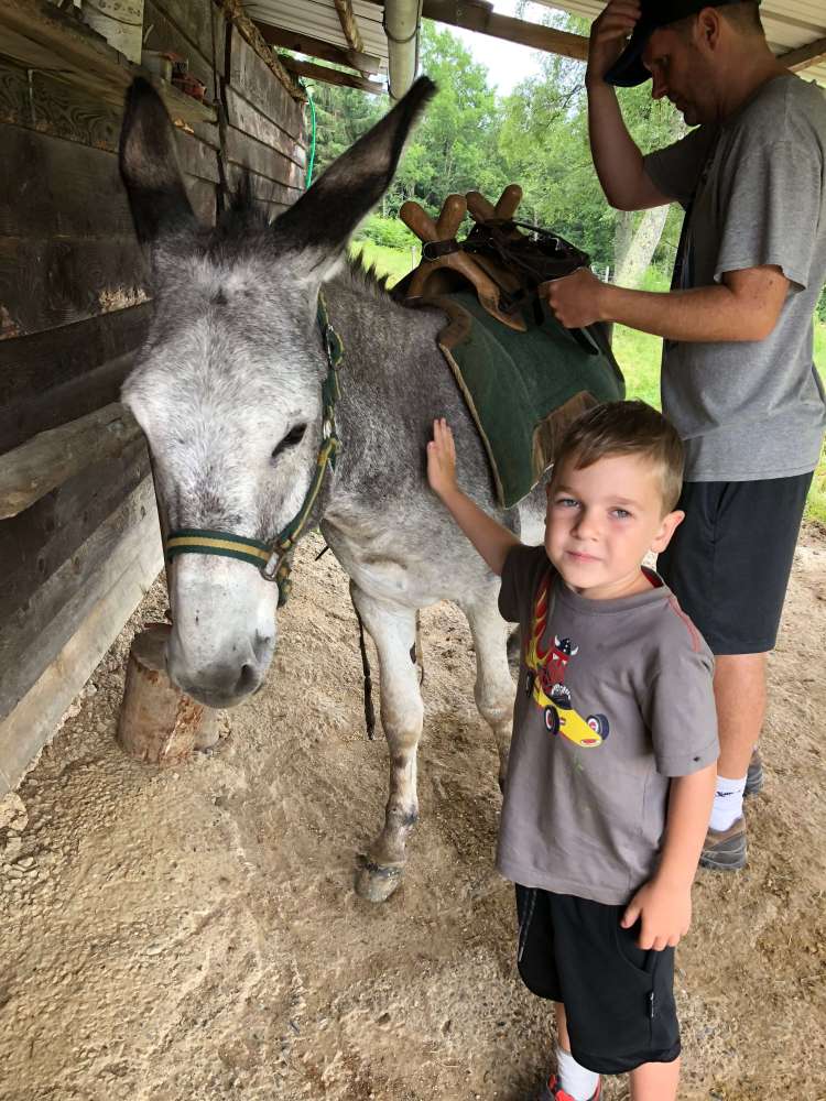
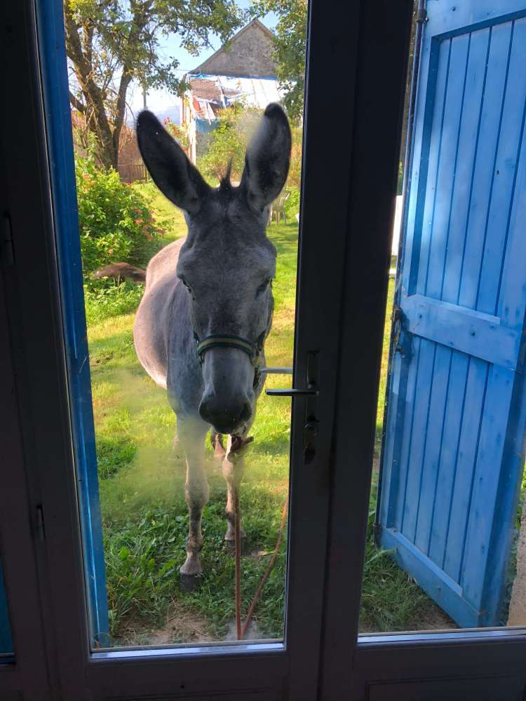
When we arrived at Panoram’âne, we went through an orientation, where we met our donkey, Cassis. They showed us how to care for our donkey, then we took a practice hike to learn to read the map.
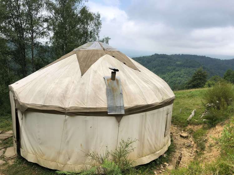
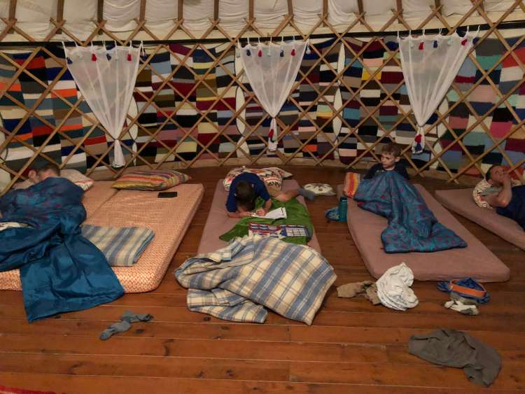
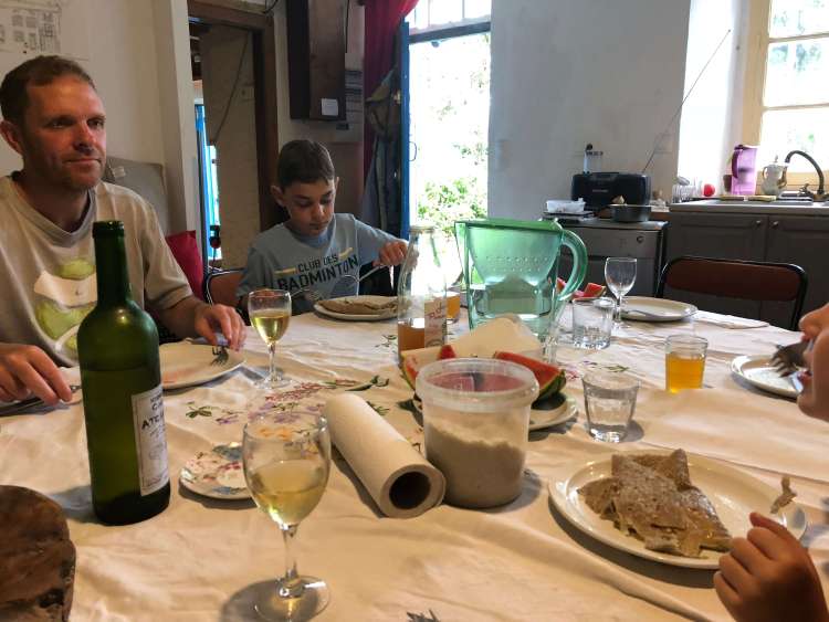
We were spending the first night at a yurt on their property, so we went to the yurt and packed the saddle bags, then had a delicious dinner prepared by our hosts, and joined by the original owner of the farm and a father and his young daughter who had just finished their hike.
Day 1
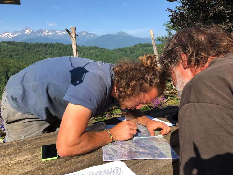
The next morning, we went over our route in detail, with written instructions and a topographic map. I was really happy to have the written instructions, since I ran into a few problems reading the map on our practice hike the prior day!
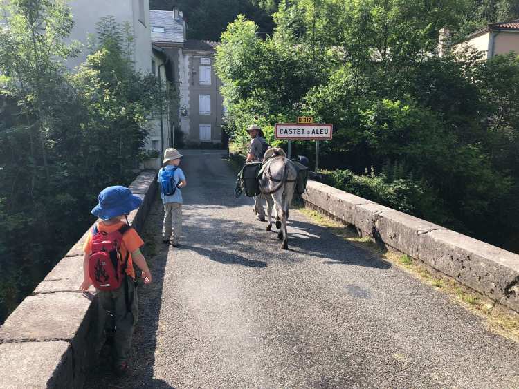
Then, we headed off. The instructions said the hike would be about 2 hours and 50 minutes the first day, but the timing wasn’t necessarily calibrated to the pace of a 5 year old. Regardless, we headed off at 11am and were informed that our host would expect us to not arrive before 5pm (weather permitting), so we knew we had plenty of time.
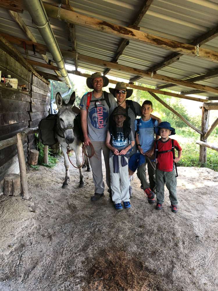
Ready to head off. We look so clean in this picture!
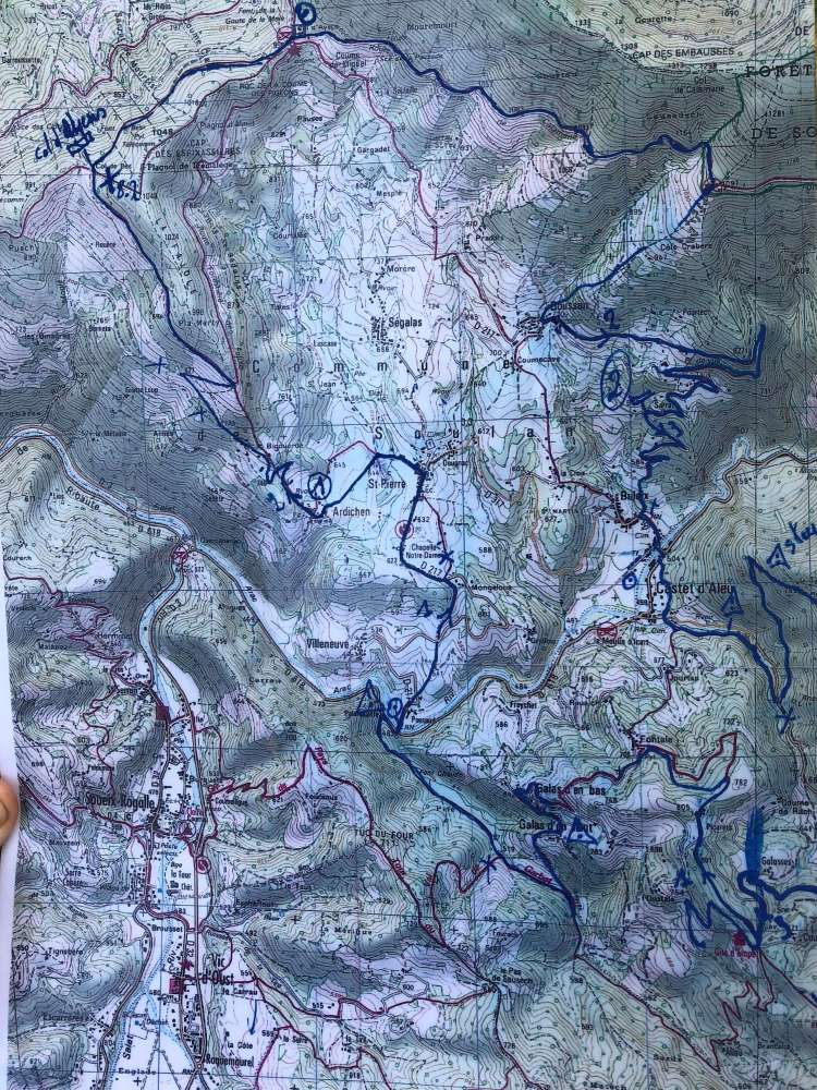
Map of our route. Totally clear, isn’t it?
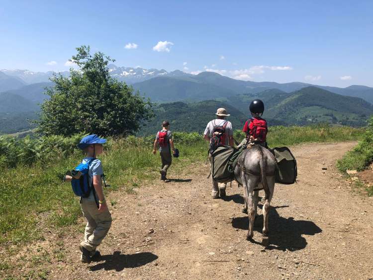
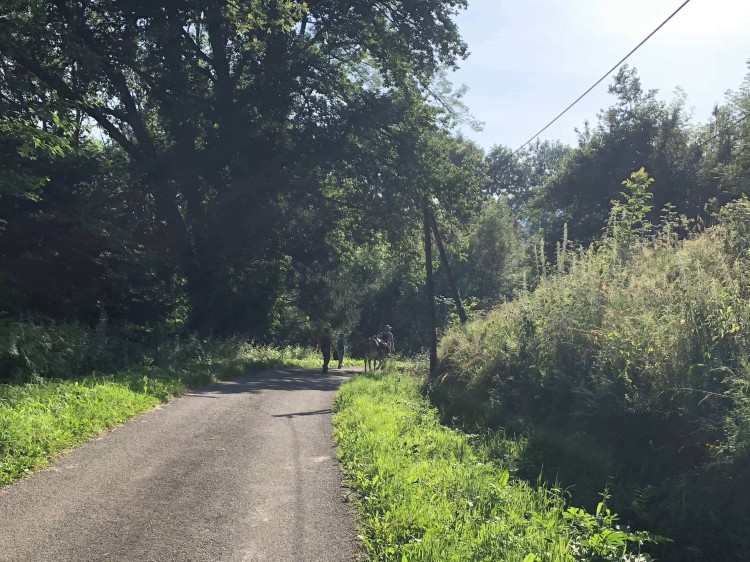
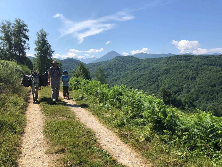 The first half of the day, we trekked on paths overlooking the mountains
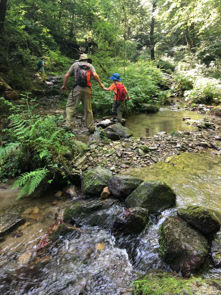
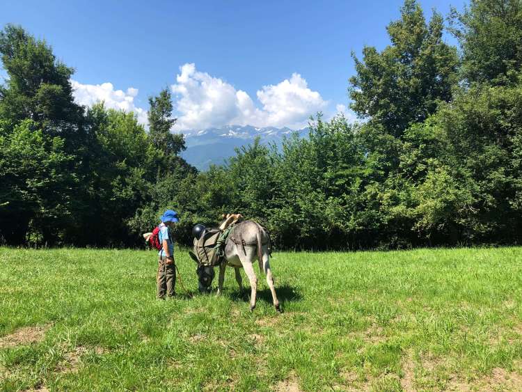 through forests and over streams
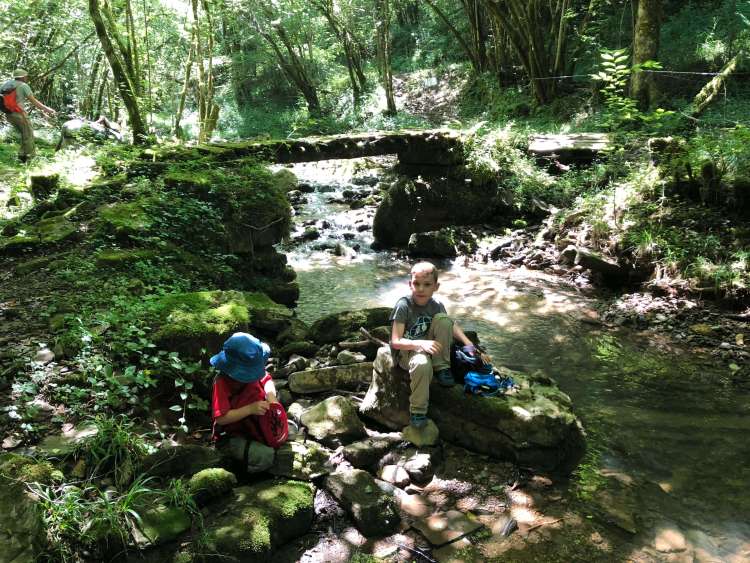
- This picture is funny because in the background you can see C being dragged across the stream by the donkey. C was going to give the donkey a break before crossing the stream while the boys had a snack, but the donkey obviously didn’t agree with that plan.
and through some mud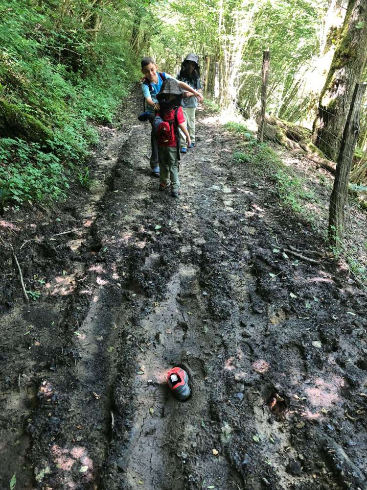 we didn’t see a lot of wildlife, but our favorite were these huge slugs.
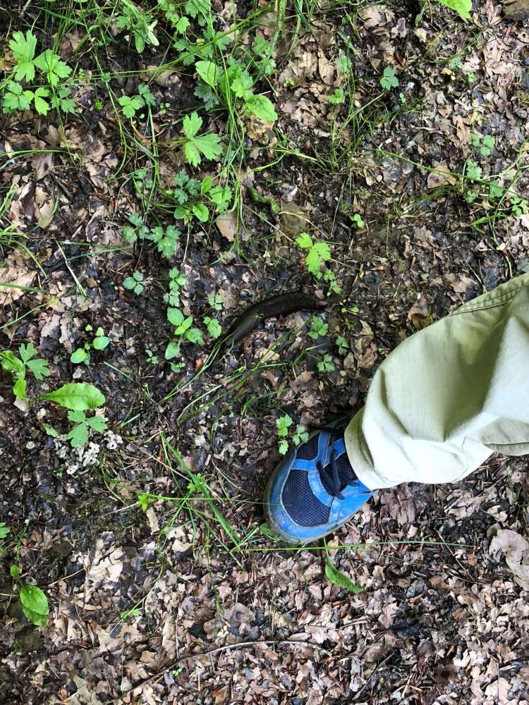
These slugs sort of looked like animal poop, so we would instinctively avoid stepping on them, then realize they were a slug, and be happy we avoided stepping on it.
With the donkey (and with little kids, I suppose) we had to stop every 1.5 – 2 hours to take a rest. For lunch, we took an especially long break, since we weren’t supposed to reach our host’s home until around 5pm.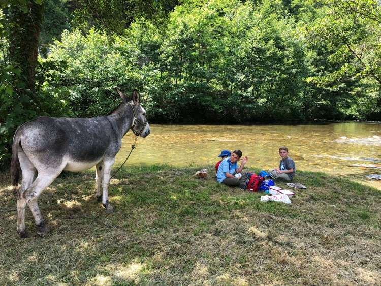 After our lunch break, we hiked another pleasant hour and unpleasant half hour, as a torrential downpour started when we were about 1km away from our host’s home.
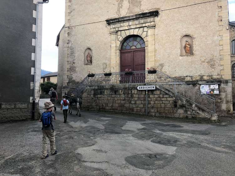 Once we got to our host’s home, C took care of Cassis and we showered and changed out of our rain-soaked clothes in the room we were given for the night.
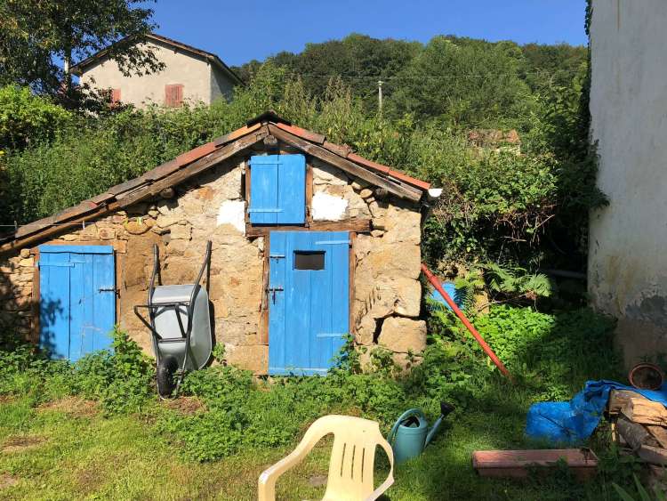
Cute out building on the host’s property.
It was wonderful staying with hosts on the trip. It was a fun experience to stay with them, eating the delicious french food they made and talk with them. The host did speak a little bit of English, but it was helpful that C spoke French (I am not exaggerating when I say that I was not capable of speaking French after 8 months of intensively studying Spanish – every word I tried to speak in French came out in Spanish! Even “Oui” was “Si” for my first 24 hours in France!!).
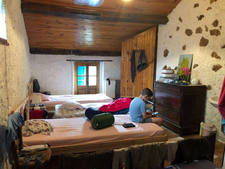
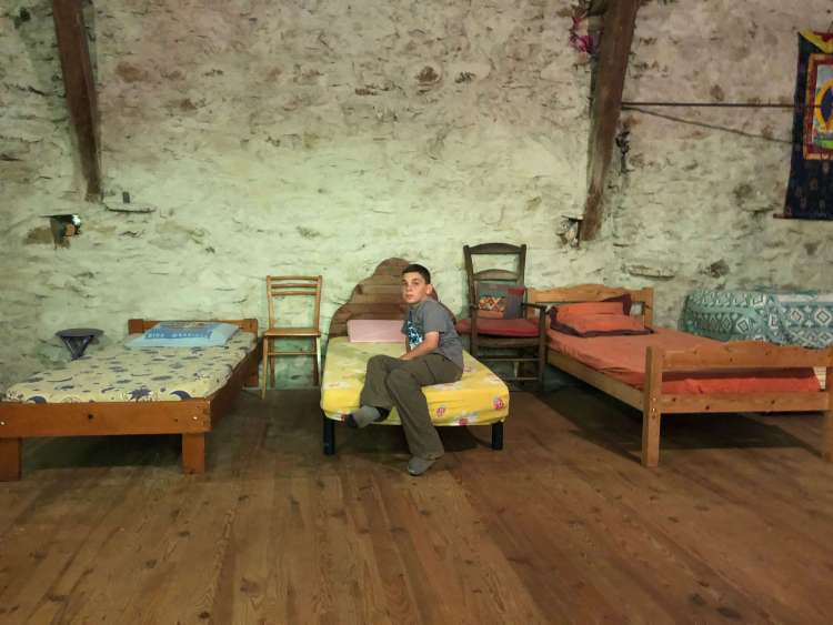
We had one big room on the top floor of the farmhouse we stayed in. It looked like there were more big spaces that could be used for more guests, but we were the only ones there that night.
Enjoying ham, cheese and egg galettes made by our host
As a final bonus, our host had a cat with four kittens. The boys had a ton of fun playing with them.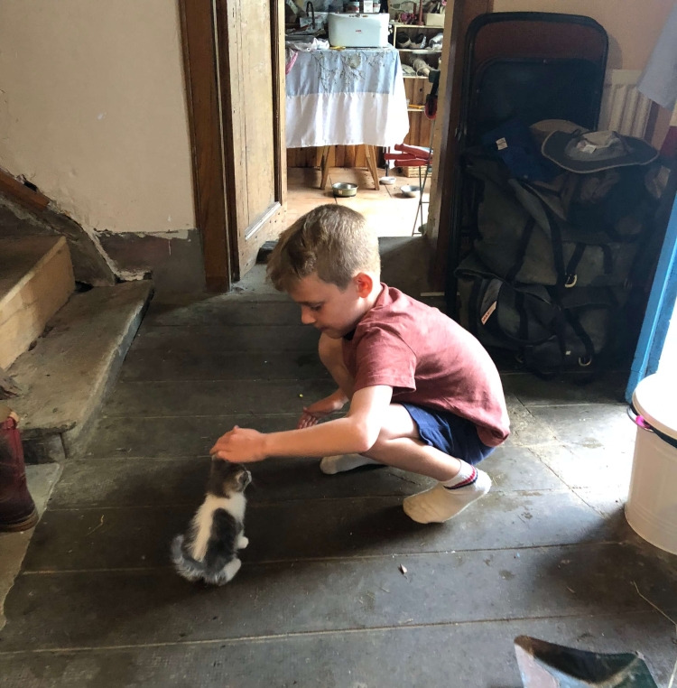
Day 1 summary: 6.3 miles/10.1km, 420 feet in elevation change, 18,063 steps, 7 hours
Day 2
The next morning we woke up and ate the breakfast our host left for us (she had to leave early and we slept in (relatively)). We got Cassis from the field he was staying in and got him ready to go.
“Are you guys ready yet?” He is definitely a morning donkey – ready to hit the road!
We grabbed the picnic lunch the host packed for us, and headed out. The directions we had today were a bit harder to follow than the other days, and we ended up making a few wrong turns. Our first direction was a little vague, so we kept expecting a turn-off and didn’t realize it wasn’t coming for a while. Meanwhile, we climbed and climbed…and climbed. 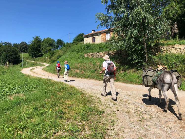
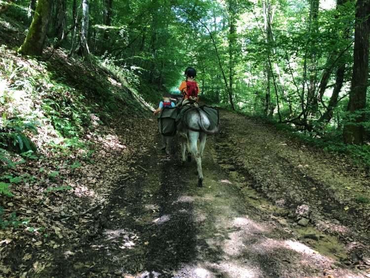
The good thing about this tough hike first thing in the morning was that it was incentive enough for N, who has always been afraid of riding horses, or any four-legged animal, I guess, to agree to ride on the donkey for a while. There is a strict 40 kg weight limit for the donkey, which meant that with our 20 kg of saddle bags, N was the only one light enough to ride on him with the bags.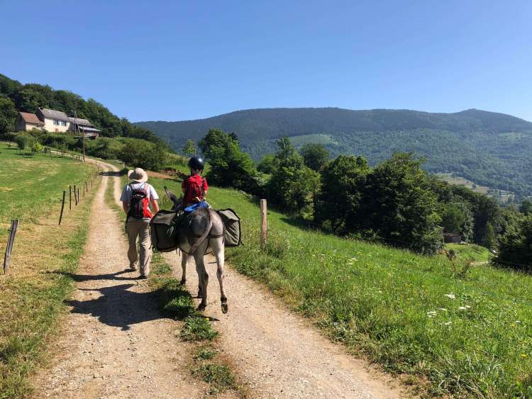
The good news about the first couple of steep hours of our morning (besides the butt workout) was that we started to get some amazing views as we crested the mountain ridge line. 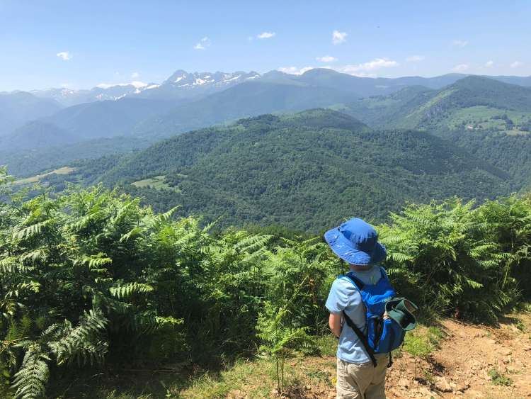
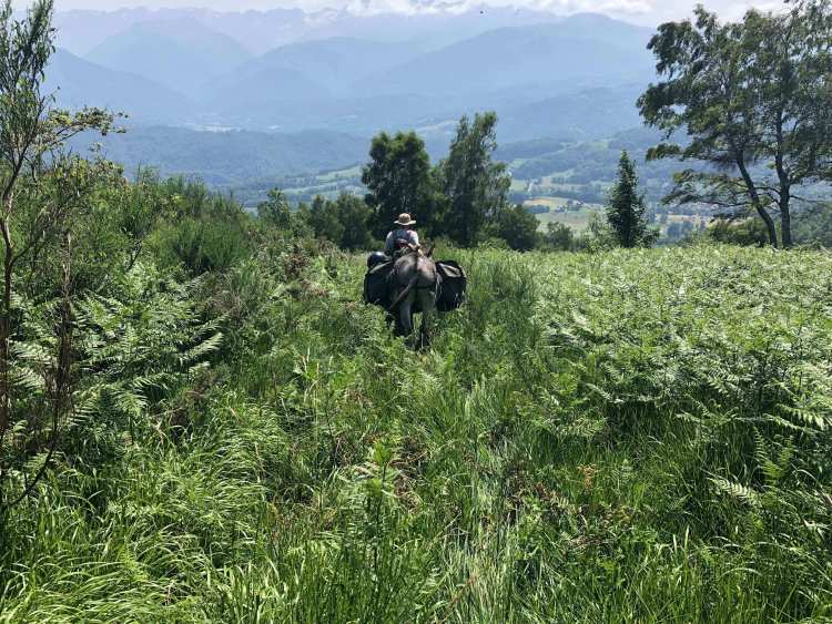
After climbing all morning, we stopped for lunch, then spent an hour on a trail along the mountain ridge. The hour we spent on this trail was the first time on the trip that we actually took the amount of time they estimated for a portion of the trail. I think we realized that N riding on the donkey helped us travel a bit faster. He is a great hiker for a 5 year old, but is still just 5 years old. I’m so glad we had the donkey as an option on this trip!
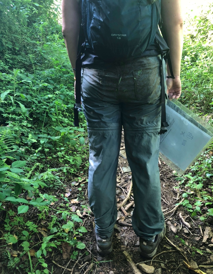
Of course, since what goes up must come down, we eventually had to go back down the mountain. We took the worst trail of the whole trip to get down. It was a barely-visible trail overgrown with ferns and a bunch of spikey plants. A and I were wearing shorts, but I had to stop and zip the legs back on my shorts halfway down, since biting ants and thorns were making mincemeat of my legs. A kept his shorts on and ended the trail full of scratches.
 Once the trail turned into woods, we had a bit of a tricky stream crossing, followed by a stream we had to “cross” while walking through it for about 20 meters. It was a mess and C went ahead to help the little guys across while I held the donkey at the back of the pack. Well, the donkey goes when he wants to go, and in that confined space along the creek, with his saddlebags making him a wide load, he pushed past me and I ended up in the mud and slightly trampled as he passed by (luckily, C had enough advance warning to snatch the boys from his path).
We also lost a few more shoes (temporarily) in the mud, but otherwise just kept walking and walking. This was our longest day and by the time we reached the road near this night’s host, the sun was already dropping in the sky.
We finally arrived at our host’s home, and it was once again a rural french barn-type place, with our whole family in one big room.
 We showered and changed and were once again treated to a delicious french dinner. Since it was already late when we arrived, we headed straight up to bed after dinner and all fell quickly asleep!
Day 2 summary: 8.3 miles/13.4 km, 590 feet in elevation change, 24,458 steps, 9 hours
Day 3
It was supposed to be a warm day, and knowing this was our last day and we were headed back to the farm to drop off the donkey and get to our car and clean clothes, we headed out pretty early.
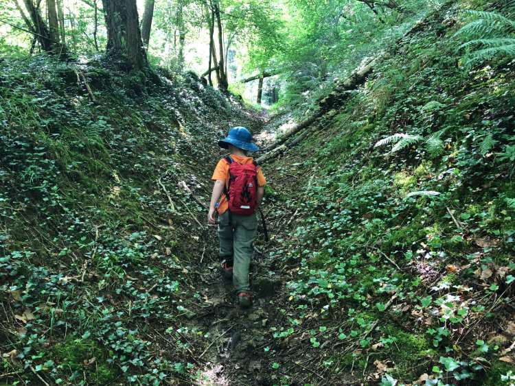
The third day was easier than the second day, but maybe a little more challenging than the first (or maybe our legs were just more tired). We had a good mix of forests, paths through small towns, and uphill climbs, with a few stream crossings to keep it interesting.
By lunchtime, we were all ready to get back to the farm, but we had to make sure the donkey got a rest at least every 2 hours (quite similar to the kids schedule, actually!), so we stopped for a little bit on a path that we had taken on our practice hike the first day we arrived. We knew at that point, we were pretty close! When we rounded the corner, we all recognized the signs at the intersection of their farm, and at that point, L got a second wind and excitedly headed off!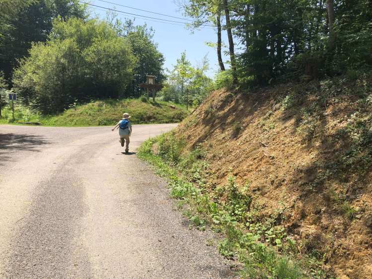
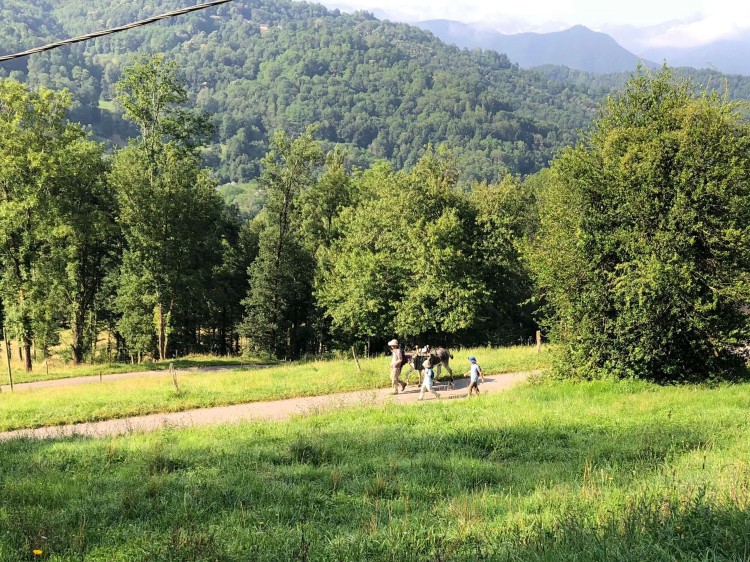
Of course, the driveway to their house was actually pretty long, so the boys calmed down and we finished the last bit of our hike, soaking in the views of the snow-capped mountains in the distance.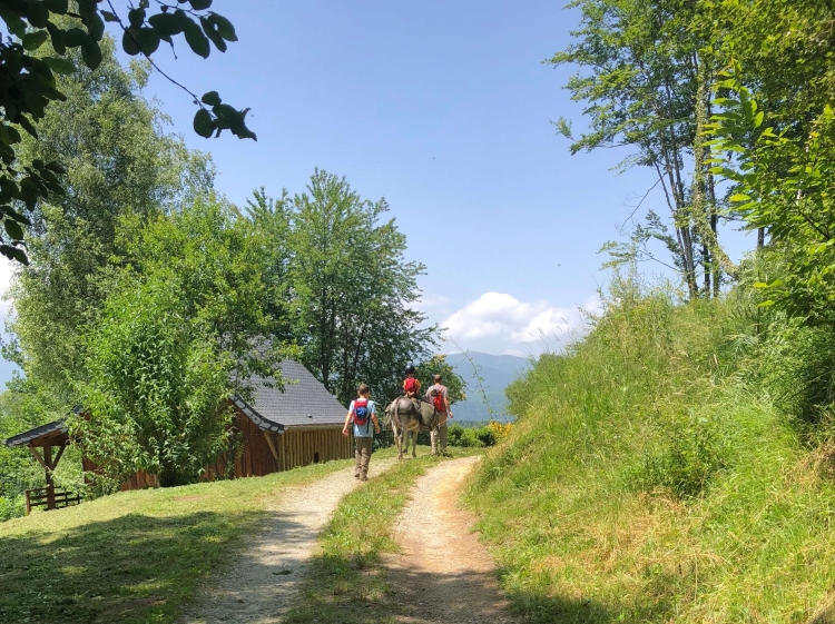
Day 3 summary: 6.4 miles/10.3 km, 500 feet in elevation change, 17,978 steps, 5 hours
Total Hike Summary: 21 miles/33.8 km, 1,510 feet in elevation change, 60,499 steps, 21 hours.
Also – 3 shoes lost (and recovered) in the mud, 3 ticks found and removed, 0 blisters, 2 bags of dirty laundry and one happy but tired family : )


